Category: Sports
-

Strava Now Has Rock Climbing, Hiking And More
Reading Time: 2 minutesStrava now has rock climbing, hiking and many more sports. Sports tracker, movescount and other applications already allowed you to do this but it is nice to see one more network provide us with this option. Up until now I had to make sure to go for a bike ride or three…
-
Negotiating Overhangs
Reading Time: 2 minutesNegotiating overhangs is physical, fun and sometimes scary. It is for this reason that the Via Ferrata de Thônes via ferrata section is such fun. It gets your adrenaline pumping as you fight to keep hold and clip and unclip in the relevant sections. It forces you to overcome your fear of…
-
A Climbing Two year Old
Reading Time: 2 minutesA Climbing two year old is ordinary. They try to climb on to chairs, they climb to stand up. They climb up the stairs and the swings. What is less ordinary is for a two year old to rock climb like a grown up. As I watch the video below what inspires…
-
Climbing in Saint George – a short drive from Nyon and Morges
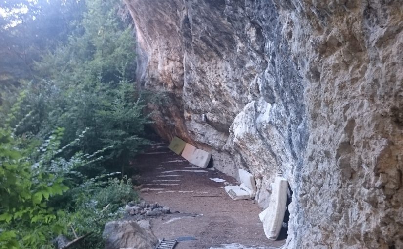
Reading Time: 2 minutesClimbing in Saint George is interesting for those living or working between Nyon and Morges. It provides routes from 4c to 7a and above and should cover most skill levels. Access time is a few seconds. You park your car near the lumber yard and a few seconds later you’re at the climbing…
-
The Third part of the Saillon VF
Reading Time: 2 minutesYesterday afternoon after two top rope climbs in Dorénaz we drove to the Via Ferrata de Saillon to climb this one. It is a via ferrata that I know well. This time I decided that I wanted to try the third part of the Saillon VF once again. What makes the third…
-
Gallantry and Rock Climbing
Reading Time: 6 minutesGallantry and Rock Climbing are a good combination. In Rock climbing the person with more experience or comfort helps the person with less comfort. In some cases it might be helping people walk on trails and in other cases it may be walking at the pace that is comfortable for others. According…
-
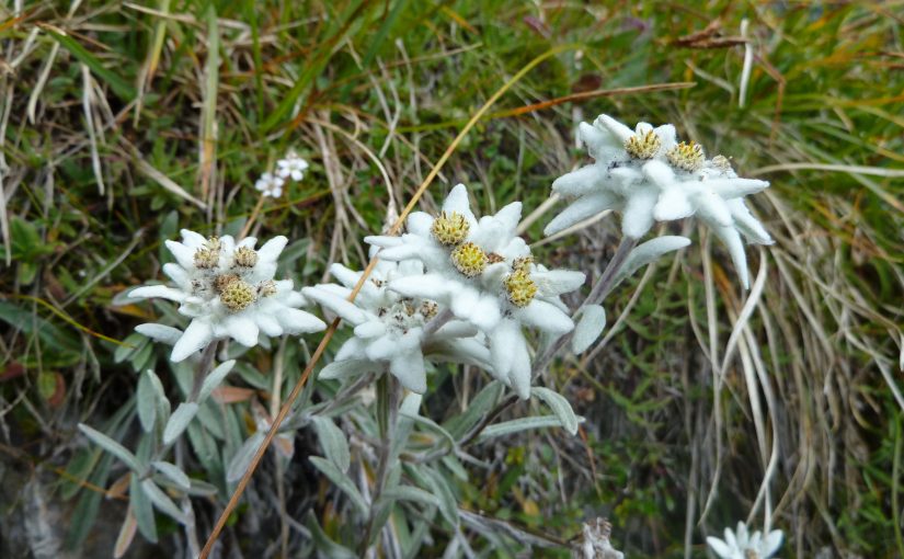
Via Ferrata and Edelweiss
Reading Time: 2 minutesVia Ferrata and Edelweiss can be combined. I was reminded of this when I was looking at Salanfe’s Instagram account images last night. I saw an image of a chamois and her young and then I saw the picture below of an Edelweiss and I wanted to share that I had also…
-
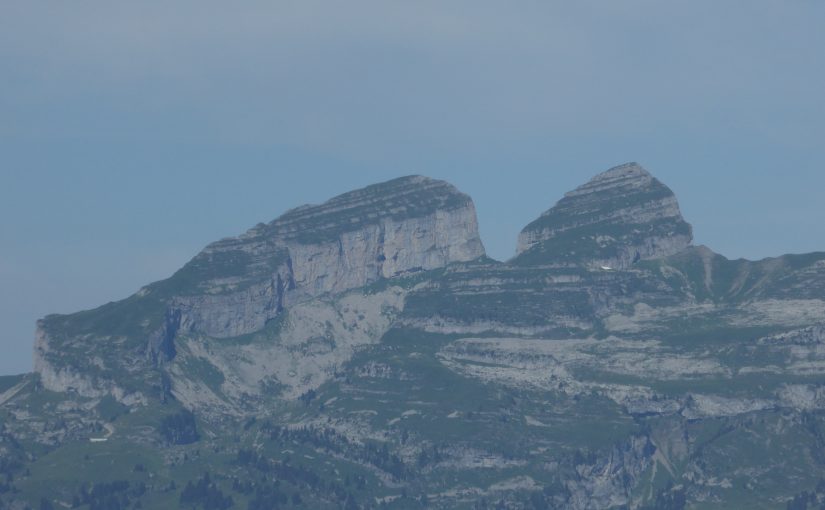
Admiring the Tour D’Aï from the Via Ferrata de la Cascade
Reading Time: 2 minutesThe weather was clear so I was admiring the Tour D’Aï from the Via Ferrata de La Cascade. I was in Les Diablerets as I am one of the volunteers at the FIFAD film festival. I turned up three hours before I was needed and as I had all my climbing gear, except…
-
Getting Up Getu – some impressive shots
Reading Time: 2 minutesGetting up Getu is short documentary climbing video about Alex Honnold and Felipe Camargo climbing a beautiful roof climb. The most spectacular aspect of this video is the size of the arch that they are climbing. In two or three shots you see the size of the rock formations compared to the…
-
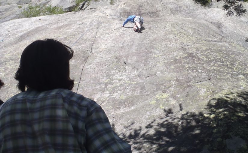
Lead climbing in to the Sunset
Reading Time: 2 minutesLast night I was lead climbing in to the sunset, outdoors, for the third time this year. The experience was interesting. Although I am comfortable lead climbing up to 6a indoors I am less confident when climbing outdoors. The challenges you face outdoors are that you’re looking for bits of rock that you…