Table of Contents
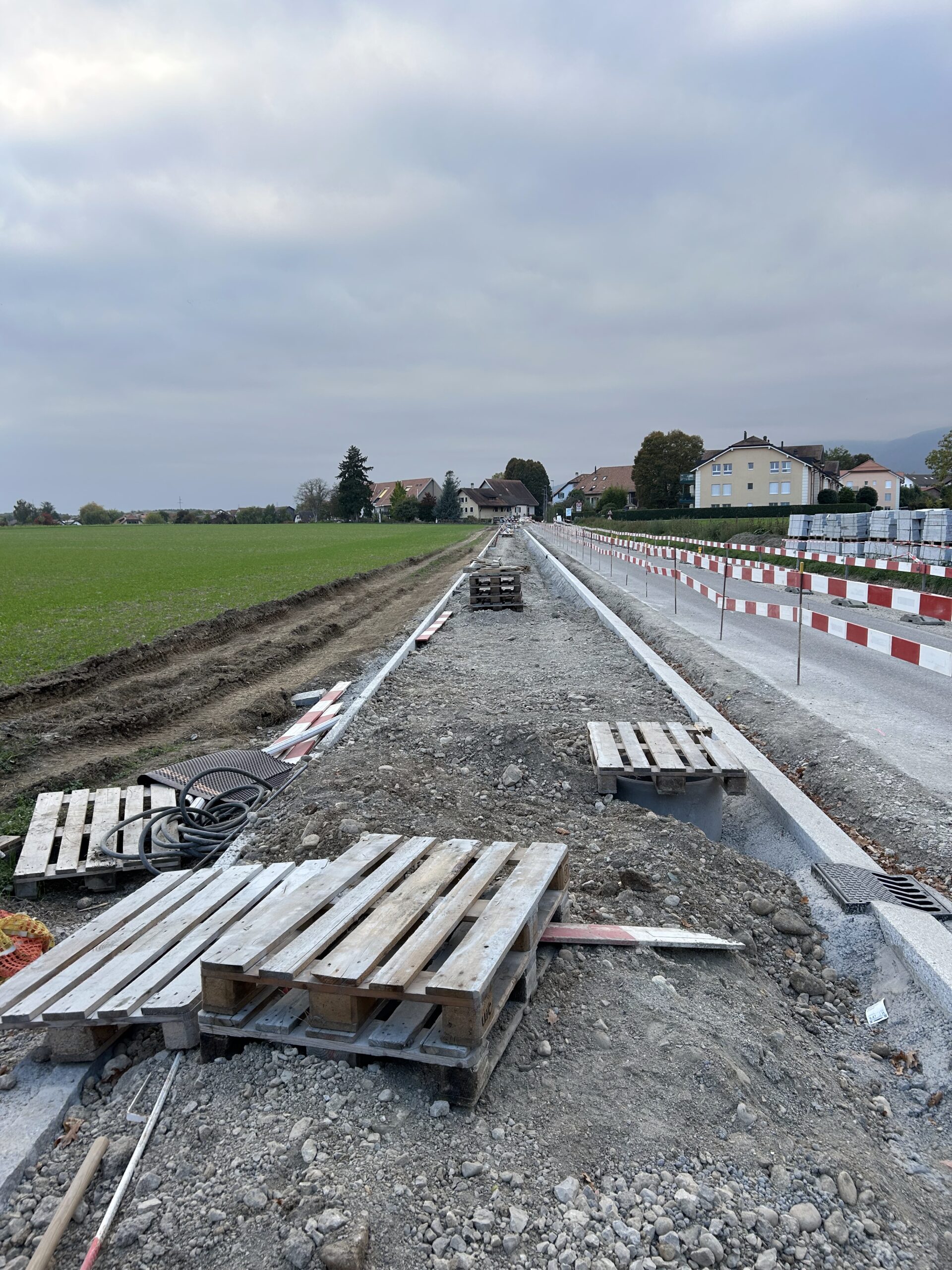
Yesterday evening I was playing with Strava heat maps, and especially with my own walking heat maps. In looking at the heat map I see deep red marks along the rads that are currently blocked by road works. You might ask “So what, who cares?” The answer is, of course, that I care, because with that critical bit of road being toxic it means that for an entire year my walking pattern is destroyed. Three months last year, and then at least nine months this year.
The simplest way to bypass the toxic bit of road is to drive the car two kilometres, and put it to charge underground at a shopping centre whilst I walk a variant of my usual walking pattern with a different point of origin.
I can see tracks that are from when I was playing Ingress, but I can also see tracks of the Chemin Des Crêtes du Jura. The only gab is between Ste Croix and Travers. That’s a walk I should eventually do, because then I will have connected La Dôle to La Chaux-de-Fonds on foot.
Another heat map that is fun to look at is the cycling heat map It covers most of the roads between Lausanne and Geneva, into France, but also up into the Jura towards Romainmôtier, Le Pont, to Morbier Lonchamps, and towards the short mountains on the outskirts of Geneva, but not the Alps.
On Sunday I will be adding yet another hiking route that goes from Aminoma to Leukerbad to the heat map.
These heatmaps highlight why maximalism is a mistake. They highlight why spending tens of million on a single road is a mistake, and why smaller well placed changes make a huge difference.
If you look on Google maps you will see that a dirt path has been worn between Signy in the direction of the Landi building, where people walk daily. If you cut the grass, then this walking route already exists. Regular walkers have worn the path naturally.
My message is positive. Walkability isn’t about Pharaonic projects like the re-qualification of a road. It’s about observing walking habits, and seeing where minimal adjustements provide the highest return on investment.
The flipside is that, due to road works making my most used routes unsafe I went from driving twice per week, to almost daily.
A Tale of Three Towns
Out of curiousity I looked at Geneva, Nyon and Morges and I am immediately struck by the heatmap difference, on a weekly basis. There is a clear preference to walk along safe paths. People walk from Trelex to Nyon via the safe pedestrian route, people from Eysins favour the Route du Stand but don’t walk from Porte de Nyon to Eysins. Geneva is read with walking heat. People walk all around Geneva, not just within the centre. It proves that if walking is safe, people will walk.
People walk all around Morges, up to Vufflens le Chateau, and along the lake, so it shows that where there are safe walking routes, people do walk.
Car Focused
If you look at the walking map you will see that villages are rarely connected, because walking between villages often results in walking along dangerous roads. If villages were connected by safe walls then Nyon would have a pattern similar to Geneva or Morges, because people would not automatically use cars.
Interestingly, if you look at the running map, almost every road is filled with running, more than cycling. It shows that running requires bigger distances, which involves a compromise. You have to link towns and villages.
Leave a Reply