I like the idea of a device as convenient as the Beeline Velo 2. I like the idea of a simple, easy to attach navigation device that can last for several hours and provide navigation. I currently use the Garmin Edge Explore but in my experience it can be unreliable.
With the Garmin Edge Explore I have had the battery die too fast, the device freeze and crash, or the device upgrade during a ride. The result is that I don’t necessarily trust it to track my rides, or to provide me with navigation when I need it.
That’s why the idea of the Beeline Velo 2 appeals to me. It behaves as a front end for the Beeline App on your phone and it syncs with Komoot, Strava and more. It also allows you to generate routes based on whether you want a quiet route, a direct route and more.
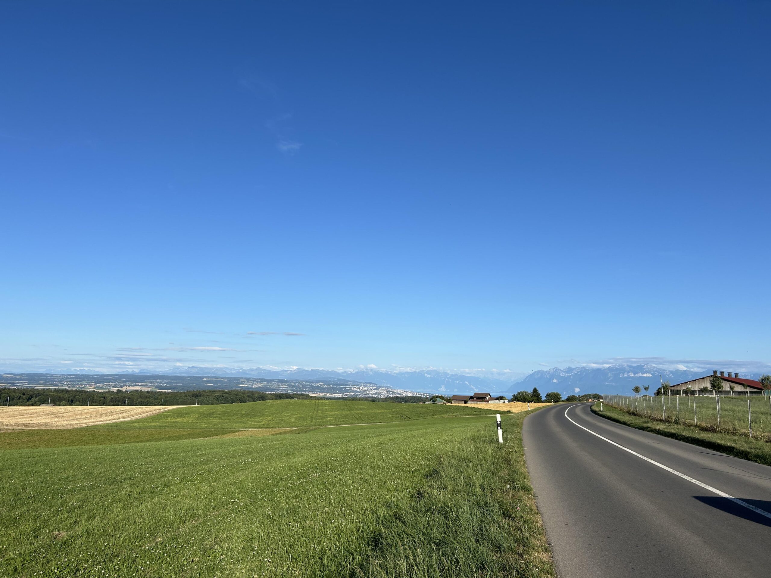
Today I navigated from Nyon to Apples with the device. It’s a french village in Switzerland, not the fruit. I wanted a quiet route with the least amount of climbing possible. It did deliver, in a sense.
The route was quite flat compared to others but because of the prevalent wind direction I found myself cycling against the wind. As this was a rest day ride I was trying not to put out too much power. I succeeded, with an average of 120 watts over two hours.
Export from Beeline to Garmin
My use case was specific. I had a Garmin mount on the bike I used but not quadlock. After I generated the track with the Beeline app I exported it as a GPX file and ingested it into Garmin Connect as a route. I then transferred that to the Garmin Edge Explore and eventually set off on the ride.
Routing Experience
In Nyon, and on two or three other occasions the GPS got confused so I had to use my own routing knowledge to get back on track. It was giving me curious directions to go back, when in Nyon. When I got to road works it didn’t help me avoid them. I had to find a way to get around them, and then the routing was good again. Nearer Rolle the GPS got lost and again I had to use common sense and cycling route signs.
I don’t know whether the issue is with Beeline maps, or Garmin’s. In the end I still got where I wanted but the navigation was not perfect.
I would add that although the routing minimised climbing it didn’t minimise steep gradients. According to Strava one gradient was up to 20 percent. That’s steep, and some people would get off their bikes and walk.
Possible Improvements
Keeping an eye on the wind could be a good feature, because a quiet route that has you facing the wind for two hours becomes a hard ride for those with less experience. I would also add a gradient function. If we tell it “avoid steep gradients” or “avoid long climbs” these could be useful features.
When I ride via Aubonne I usually ride via the main road which is quite a climb, but it’s gentler and the road is wide, so despite traffic, cars can overtake. The steep climb after the bridge is not beginner friendly. It isn’t rest day friendly either.
And Finally
With this app you can plan a cycling from A to B within seconds. You can choose whether you want it to be fast, balanced or quiet. The fast route will take you along roads that are busy with cars, and the quiet option will take you along roads with minimal traffic. If you’re like me, then quiet roads are preferred.
Exporting the GPX from the Beeline app and importing it as a Garmin route was quick and easy. The experience when navigating was not perfect but I suspect that this is due to a slight difference between Garmin’s maps and Beeline’s. With common sense, and following cycle lanes I was able to recover the trace. I suspect that using the Beeline app would have been smoother.
The next step will be to go for a ride with the app.
Leave a Reply