Month: September 2017
-
From Grächen to Zermatt via the longest suspension bridge: part two
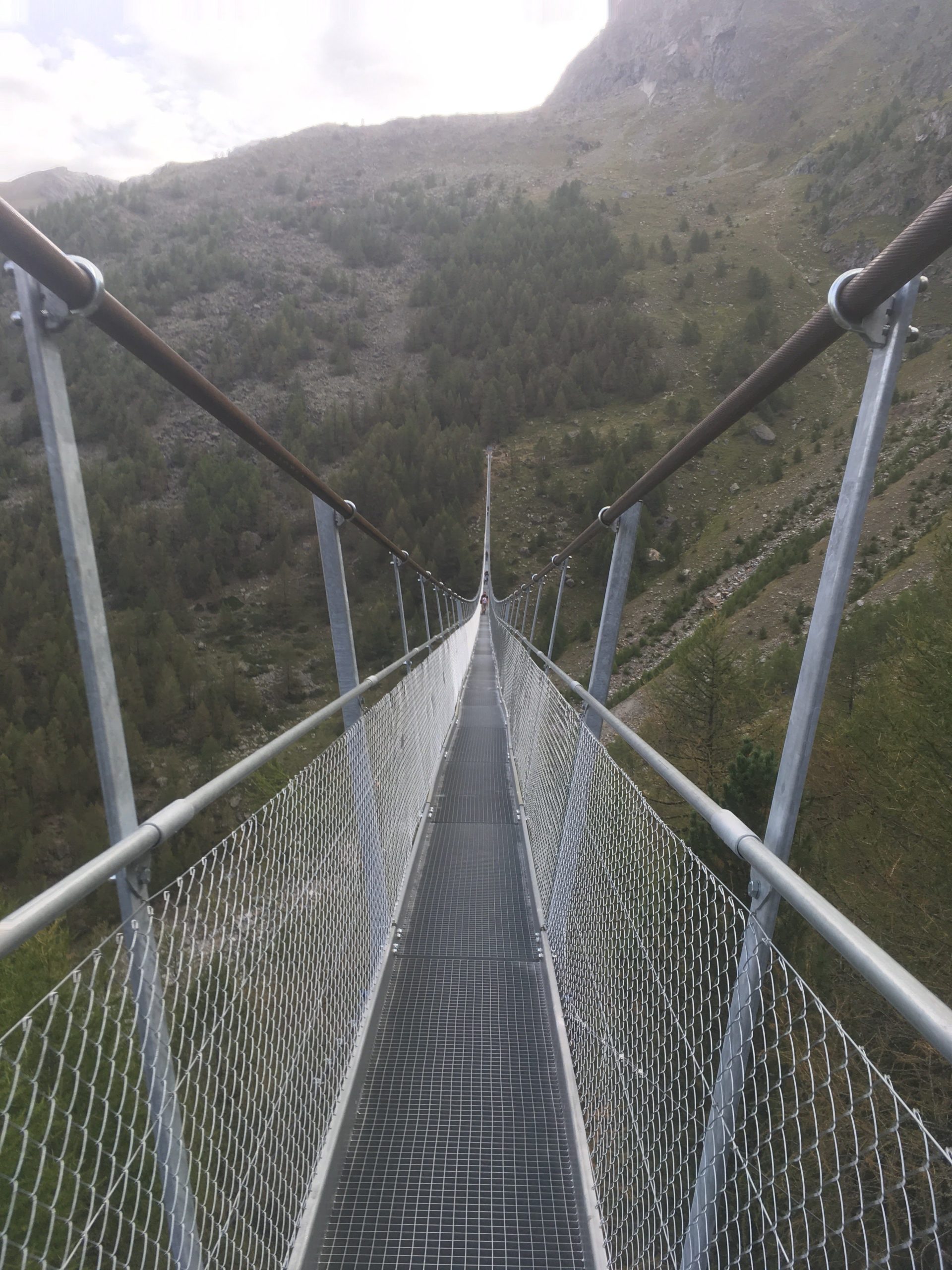
Reading Time: 2 minutesFrom Grächen to Zermatt via the longest suspension bridge: part two When you wake up in the Europahütte and look down you can see the span of the longest suspension bridge in the morning shade of the mountains. It’s at this moment that people like me think “shame, not ideal for pictures”.…
-
From Grächen to Zermatt via the longest suspension bridge: part one
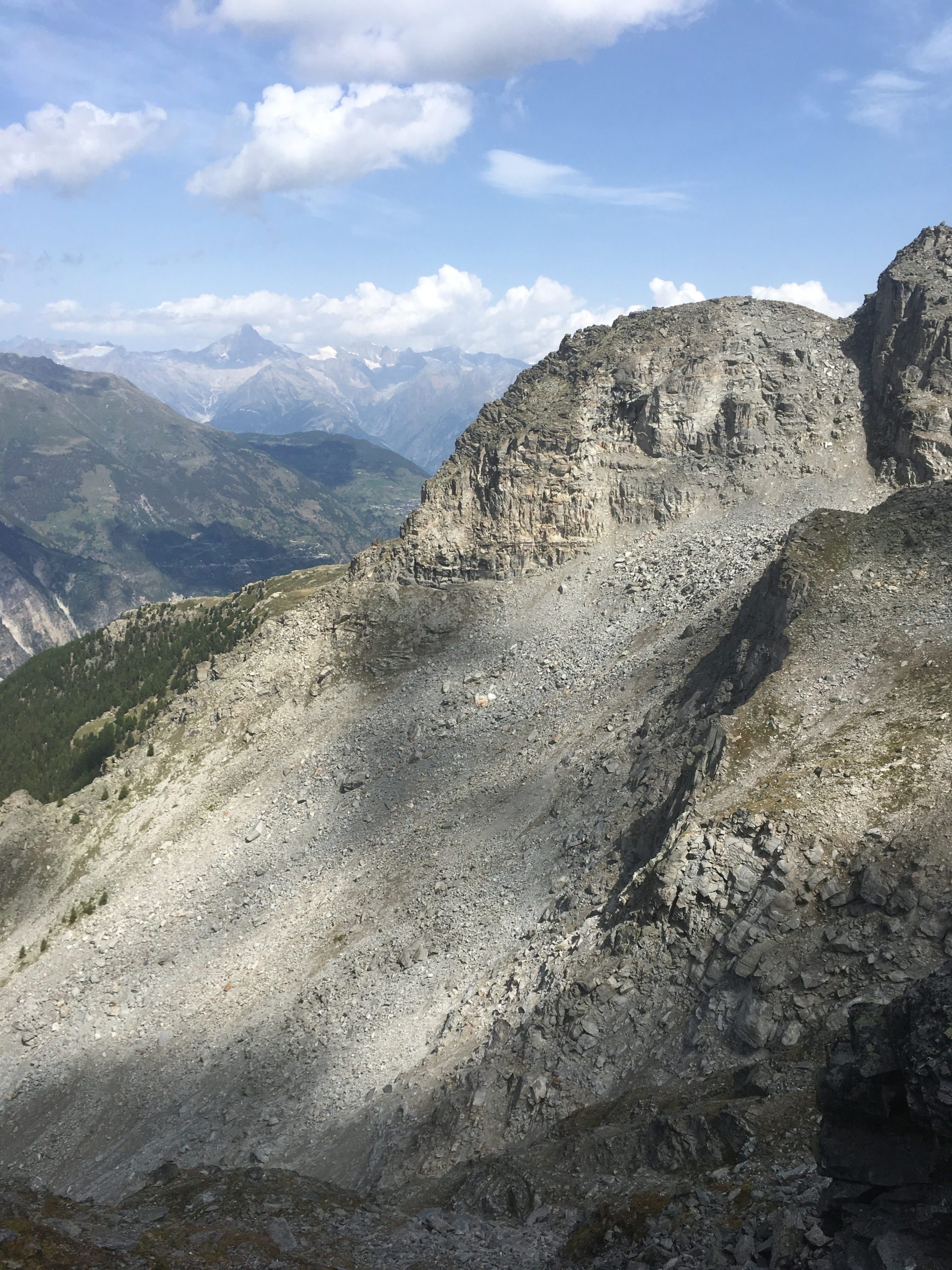
Reading Time: 3 minutesHiking from Grächen to Zermatt via the longest Suspension bridge is an interesting two-day hike. It provides you with views of glaciers, boulder fields, scree slopes and more. It also provides you with the opportunity to cross a suspension bridge that takes six minutes. Hiking up from Grächen The hike up from…