Table of Contents
Komoot is an app based on socialising through sports. The sports are cycling, mountain biking, bike touring, hiking and running. It integrates well with Garmin and allows you to track activities from your mobile phone or import GPX, Fit and other files from other brands. It also allows you to create your own tracks ahead of an activity as well as plan it for a specific day and time.
Sports
Running and hiking are two distinct categories with no differentiating between hiking, walking, nordic or rambling. Running does not have sub-categories for trail running, road running or other variants. Cycling seems to be the sport they are most focused on. They differentiate between road riding, mountain biking and touring.
Creating routes
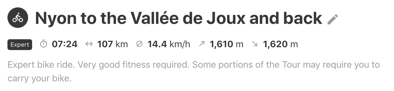
Creating a route on the website is easy. You can choose between a linear route or a loop. You can select which sport is for. I tried creating two or three walking routes as well as two or three cycling routes based on walks I have done in the past. You mark point A and point B and then add the in between points. I created the 100km route I tried from Nyon to the Col de Marchairuz, around the Lac de Joux and then down via St Cergue to Nyon. It automatically gives you ascent information, gradient, an average speed and an estimated route time as well as level of expertise.


Google Maps offers some of the same functionality but you do not get so much detail and it is not integrated within a mobile app or gps units like Komoot is. Finally at the bottom of the route you get weather information. This can be useful if you plan to do an activity in a few days.
Planning a group activity
A feature I would like to see on this app is the ability to create a group event or activity. I would like to be able to take a route I have prepared and decide on a time and date when a group of people could come together to enjoy a hike or bike ride. If and when this is included it would be a one stop solution for people to meet up and enjoy activities together.
Leave a Reply