Sports tracker and Google Earth
Reading Time: < 1 minute
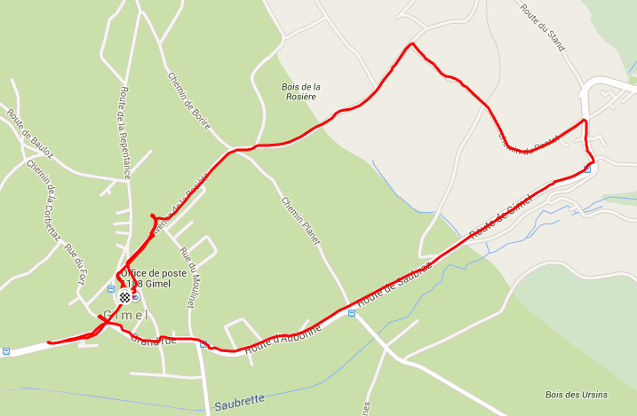
Six thousand steps later and I’ve created yet another track via the Sports tracker application for the N95. What’s fun is that within a few seconds of arriving home I can bluetooth the KML file to my laptop, open it in google earth and I’ve got an arerial view of the wintery walk I took

If I could get a wintery map then it’d be perfect as the ground is covered in snow.
Update: I tested the “upload to service” and that’s interesting too. All the tracks are stored there and you can upload images and more. If you know a few people using the service you can compare your tracks with them. Failing that you can share with the world and see what they’ve added.
")

Why do you need to send the KML to your laptop? When I use the N95 Sports Tracker, it uploads directly from my phone (before I even come back into the house). Then I can simply pull up their website and view the track in Google Earth/Maps.
I’ll have to try that, haven’t tried it yet.