Mavic 2 Pro – For When I fly More Often

Mavic 2 Pro – For When I fly More Often

The Mavic 2 Pro just came out and people are euphoric about the drone because of its one inch sensor, it’s ability to zoom and it’s omnidirectional systems keeping an eye on the environment below, behind, above and ahead of it. It also has a flying time of 31 minutes. 


I’m happy with the DJI Spark. Last Autumn as the nights shortened and work got in the way of flying the drone I felt disappointed that I would have to suspend the passion whilst waiting for the next summer to arrive. This summer came and it is now approaching an end and I haven’t flown as much as I would have expected to. It’s partially due to having to get the charger out, charge all the batteries and fly somewhere new that slowed me down. NFZs limit the number of places where you can fly. 


The issue with DJI drones is that whilst they are excellent camera drones they are not as versatile as FPV drones. If you don’t have a video project in mind they’re limited in scope. 


This being said I did get nice footage of the Swiss flags with vineyards in the background. You can tell how windy the conditions were by how taut the flag is. 


https://www.youtube.com/watch?v=h7WN41loH-4


I also got footage of golden crops yesterday. I had the sun behind me and I stayed on the grass between the field and a road. You get a nice view of the crops in the foreground and the Mont Blanc and the Alps in the background. 


https://youtu.be/wxpTAHDzT7I

| |

Watching RC helicopters fly

https://www.youtube.com/watch?v=icXbEiUg9i0


Yesterday I flew my drone despite the wind and I got some nice footage of a swiss flag fluttering with vineyards in the background. I then recharged all my batteries before heading out again. This time I headed up towards St George because there is a beautiful vista there where you can see the whole of the Léman. 


I passed by the field where I had seen people flying model helicopters, planes and drones and when they signalled for me to approach I did. On the ground they had a multitude of helicopters which they had flown on that day. 


These helicopters are large, aerobatic models. It’s fun to watch them and hear the sound they make. They did a multitude of stunts, many of which you can see in this video. I want to go back next weekend. It’s fun to watch and it’s something we could do. Cheaper than flying a real helicopter. 

Walking from Nyon to St Cergue
|

Walking from Nyon to St Cergue

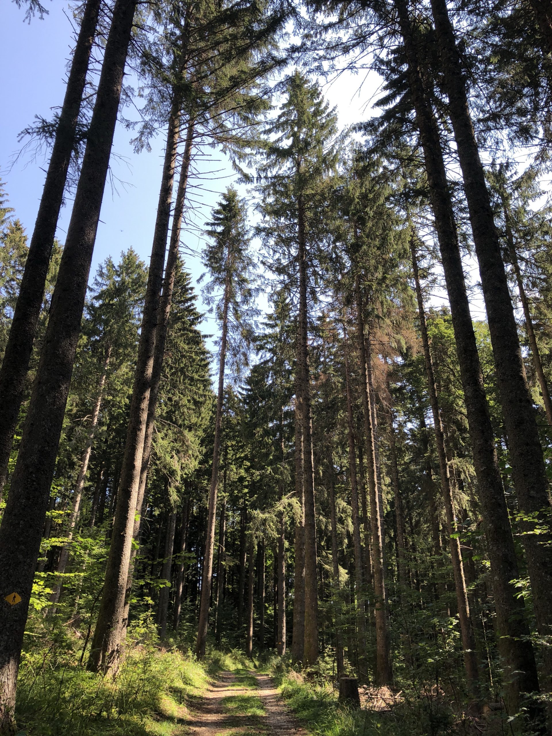
When I neared the top of the Jura I walked through part of the forest where the smell of pines was strong. I usually associate that smell with hikes further afield and at higher altitudes. It was nice to find it so close to home. To do this walk you can set off from Nyon Train station and follow the signs with the number 5 for the Chemin des Crêtes Du Jura


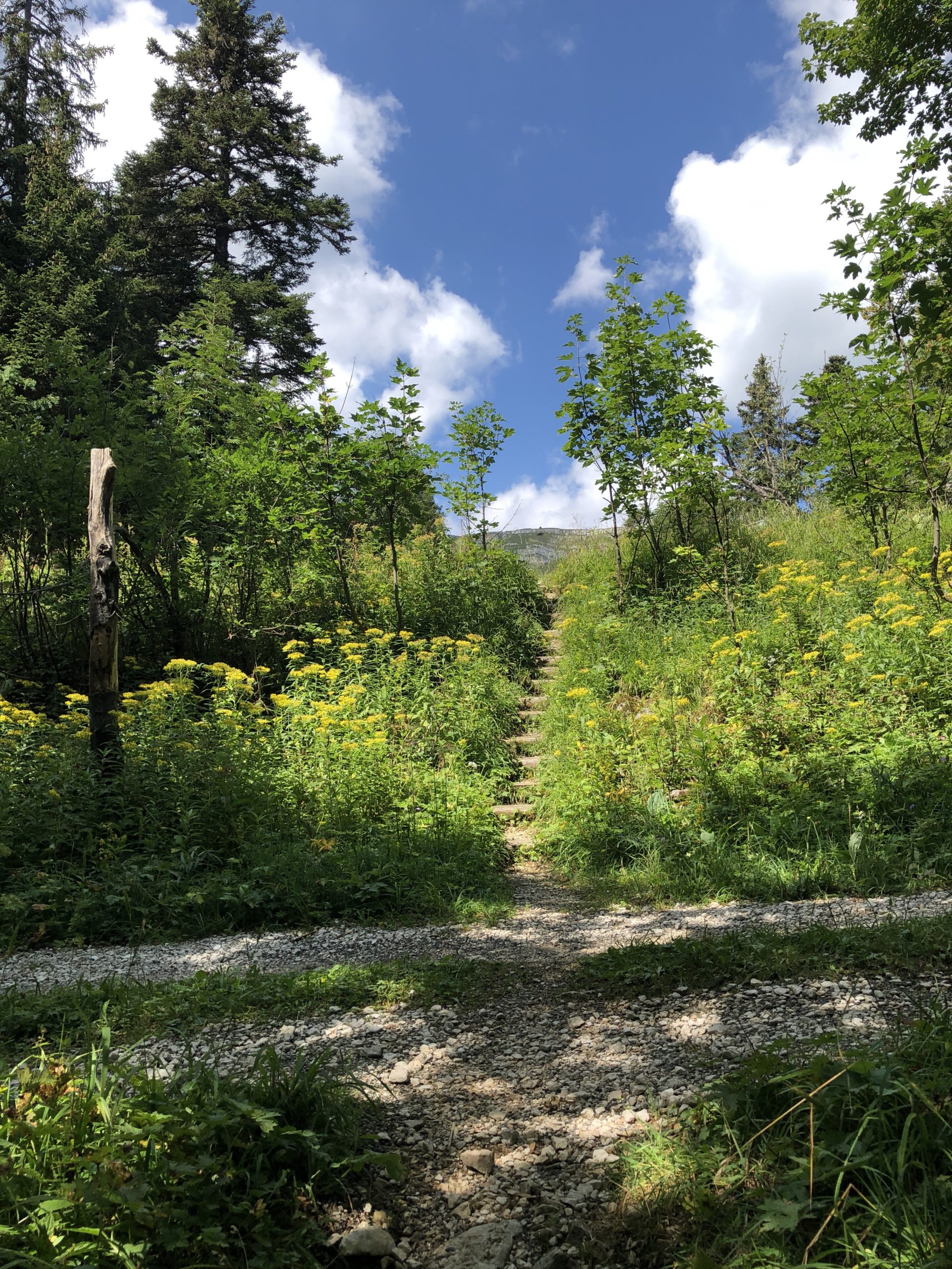
If you do this hike the right way you would start in St Cergue and walk down. I did it the other way. The first part of the walk takes you across farm roads surrounded by fields on both sides. This part of the walk is easy because it has a gentle gradient. It’s when you get to the top of Cheserex that you start to climb from the foot of the Jura upwards. 


The path was overgrown, requiring me to squirrel my way through plants and move branches out of the way. The first part is not so well maintained. The signs are also harder to find. There are dozens of routes and I was induced in to taking the wrong path once or twice, taking the path for the La Barillette bike race rather than the walking trail. 


I saw some forestry people at work cutting down trees by the road so I had the sound of chainsaws and falling trees as I walked up. I followed the road for a bit in the hope of finding the right trail once again and when I did I started to head straight up. 


Ants, in this forest, are busy. I saw them crossing the path in a number of locations and I saw several large anthills. One of them was almost as tall as I am but much wider. I was surprised to see so much activity. The forest might be healthy. 


Near the summit


The trees in this part of the forest are tall with most of the branches near the top to catch as much light as possible. This part of the walk is definitely worth seeing. 


You need to cross the main road near the top and go up two or three more bends before you get to the clearing in the image above. From this clearing you get your first up-close view of La Dôle. From here the walk breaks out of the trees and you start to get a good view of the rock face. 


When I went past the farm I saw calves with their mother so I walked up and looked across to see if I could walk without passing between the mothers and their calves. As I could not I decided to pass by the col to the right of La Dole and walk down from there to St Cergue. I crossed two or three more fields with cows and walked by a passage where Jean Jaques Rousseau walked in the 1770s. 


The route was about 23-25km depending on the GPS and took about 5 and a half hours. I only stopped long enough to get water out of my bag or take pictures. I also lost a little time trying to find the route. I would recommend this as a convenient hike within easy reach of Geneva and Lausanne. 

The Apple Watch Series 3

The Apple Watch Series 3 is more interesting than I thought it would be, I like that it plays nicely with Strava and that it is possible to track shorter duration activities without worrying about battery life. I found that it loses about ten percent per hour. This is fine for most people. 


Daily goals


Another feature that I like is that it measures daily goals in standing, calories and activity. The standing and activity goals are easy to beat on a daily basis. Standing 1 minute every hour is tremendously easy when you’re not driving or flying. It’s the activities goal that I find most relevant. 


With previous devices that I have used, whether Fitbit or fitness apps on android or iOS they usually give you a daily step goal but if you go for a long bike ride or go climbing you will miss the step goal. With calories burned everything you do counts towards that goal. 


With the workout app you can track a number of activities and you can set goals as open, calorie expenditure, distance or time. So far I played with the open goal and it works fine. I choose routes which exceed the daily calorie goal. Yesterday I tried the calorie goal for a walk and I exceeded it yet again. It’s not that hard. I should set it at twice the goal to challenge myself. 


Better integration with Strava and other apps


I would like to see better exportability of data. With the Suunto Spartan Wrist HR baro watch I track workouts,and via Movescount the data is exported to Strava and Sports tracker automatically. With the workout app information about the distance travelled and other data is only shared with those who also use the activities app on iphone


It is for this reason that I track cycling and hikes with both the Suunto watch and the Apple watch series 3. 


Other comments


I don’t know what the heart rate variability data means so I don’t know whether to see the data as positive or negative. It is a shame that with most news apps we can read the headline and sub-heading but not much else. I wish that we could type messages rather than choose from presets. It is not as versatile as I would like from such a device. 


Assessment


This is a watch perfectly suited to cycling, hiking and other activities as long as they do not exceed eight hours of activity. It is well suited for when you’re walking in town, cycling in the countryside or climbing. Tracking calories, rather than steps, is a great way of giving people sporting flexibility. It’s a practical introduction to sports tracking watches.